
Thank you for supporting this site ❤️
Make a donation
Make a donation
Red Oak Hollow topographic map
Click on the map to display elevation.
Thank you for supporting this site ❤️
Make a donation
Make a donation
About this map
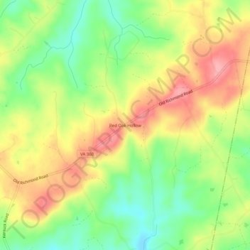
Name: Red Oak Hollow topographic map, elevation, terrain.
Location: Red Oak Hollow, Pittsylvania County, Virginia, United States (36.70653 -79.21585 36.74653 -79.17585)
Average elevation: 190 m
Minimum elevation: 136 m
Maximum elevation: 246 m
Thank you for supporting this site ❤️
Make a donation
Make a donation
Other topographic maps
Click on a map to view its topography, its elevation and its terrain.