
Thank you for supporting this site ❤️
Make a donation
Make a donation
Fullen topographic map
Click on the map to display elevation.
Thank you for supporting this site ❤️
Make a donation
Make a donation
About this map
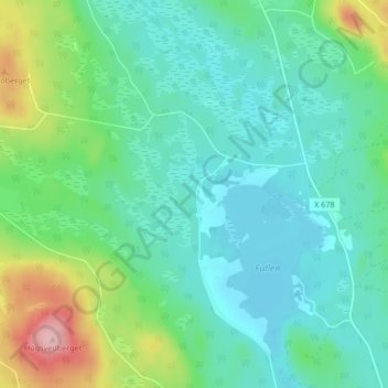
Name: Fullen topographic map, elevation, terrain.
Location: Fullen, Ovanåkers kommun, Provinz Gävleborg, Schweden (61.43681 15.65645 61.47681 15.69645)
Average elevation: 249 m
Minimum elevation: 211 m
Maximum elevation: 370 m
Thank you for supporting this site ❤️
Make a donation
Make a donation
Other topographic maps
Click on a map to view its topography, its elevation and its terrain.