
Thank you for supporting this site ❤️
Make a donation
Make a donation
Songgon topographic map
Click on the map to display elevation.
Thank you for supporting this site ❤️
Make a donation
Make a donation
About this map
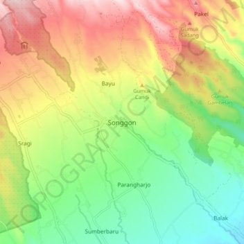
Name: Songgon topographic map, elevation, terrain.
Location: Songgon, Banyuwangi, East Java, Java, 68463, Indonesia (-8.27311 114.16228 -8.19311 114.24228)
Average elevation: 381 m
Minimum elevation: 215 m
Maximum elevation: 599 m
Thank you for supporting this site ❤️
Make a donation
Make a donation