
Thank you for supporting this site ❤️
Make a donation
Make a donation
Breitscheid topographic map
Click on the map to display elevation.
Thank you for supporting this site ❤️
Make a donation
Make a donation
Breitscheid
Neben den im Mittelalter im gesamten Rheinland üblichen „Kugeltöpfen“ in unterschiedlichen Formaten, zeichnet sich die Töpfertradition der „Breitscheider Irdenware“ insbesondere durch die Herstellung großformatiger bauchiger Vorratsgefäße mit und ohne Standhilfe und einer Höhe bis zu 55 cm sowie ein reichhaltiges Repertoire von Trinkgeschirren (Krüge, Kannen, Becher, Pokale) aus.
Thank you for supporting this site ❤️
Make a donation
Make a donation
About this map
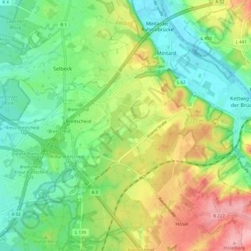
Name: Breitscheid topographic map, elevation, terrain.
Average elevation: 75 m
Minimum elevation: 37 m
Maximum elevation: 149 m
Thank you for supporting this site ❤️
Make a donation
Make a donation
Other topographic maps
Click on a map to view its topography, its elevation and its terrain.