
Catuday topographic map
Click on the map to display elevation.
About this map
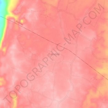
Name: Catuday topographic map, elevation, terrain.
Location: Catuday, Pangasinan, Ilocos Region, 2406, Philippines (16.25871 119.78310 16.29871 119.82310)
Average elevation: 140 m
Minimum elevation: 22 m
Maximum elevation: 159 m