
Ilorin topographic map
Interactive map
Click on the map to display elevation.
About this map
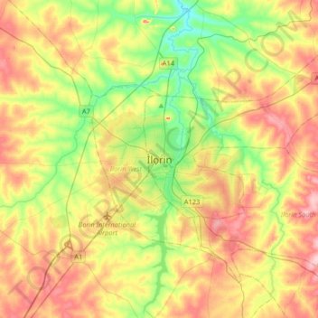
Name: Ilorin topographic map, elevation, terrain.
Location: Ilorin, Ilorin East, Kwara State, 240212, Nigeria (8.33637 4.38805 8.65637 4.70805)
Average elevation: 326 m
Minimum elevation: 244 m
Maximum elevation: 425 m