
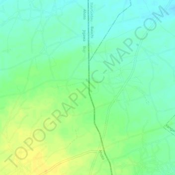
Gurara topographic map
Interactive map
Click on the map to display elevation.
About this map
Name: Gurara topographic map, elevation, terrain.
Location: Gurara, Buji, Jigawa, Nigeria (11.64575 9.80049 11.68575 9.84049)
Average elevation: 417 m
Minimum elevation: 406 m
Maximum elevation: 430 m