
Howard County topographic map
Interactive map
Click on the map to display elevation.
About this map
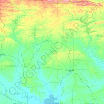
Name: Howard County topographic map, elevation, terrain.
Location: Howard County, Arkansas, United States of America (33.74771 -94.25916 34.35551 -93.82049)
Average elevation: 163 m
Minimum elevation: 78 m
Maximum elevation: 505 m