
Bishopton topographic map
Click on the map to display elevation.
About this map
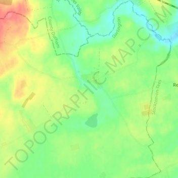
Name: Bishopton topographic map, elevation, terrain.
Location: Bishopton, Darlington, Tees Valley, England, United Kingdom (54.56332 -1.47106 54.60312 -1.40728)
Average elevation: 54 m
Minimum elevation: 29 m
Maximum elevation: 89 m
Other topographic maps
Click on a map to view its topography, its elevation and its terrain.