
Thank you for supporting this site ❤️
Make a donation
Make a donation
Laugarás topographic map
Click on the map to display elevation.
Thank you for supporting this site ❤️
Make a donation
Make a donation
About this map
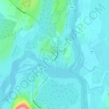
Name: Laugarás topographic map, elevation, terrain.
Location: Laugarás, Bláskógabyggð, Southern Region, Iceland (64.09567 -20.52225 64.13567 -20.48225)
Average elevation: 62 m
Minimum elevation: 48 m
Maximum elevation: 195 m
Thank you for supporting this site ❤️
Make a donation
Make a donation
Other topographic maps
Click on a map to view its topography, its elevation and its terrain.