
Juprelle topographic map
Interactive map
Click on the map to display elevation.
About this map
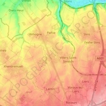
Name: Juprelle topographic map, elevation, terrain.
Location: Juprelle, Luik, Wallonië, 4450, België (50.67852 5.47826 50.74938 5.59946)
Average elevation: 146 m
Minimum elevation: 75 m
Maximum elevation: 191 m