
Thank you for supporting this site ❤️
Make a donation
Make a donation
Oju Ota topographic map
Click on the map to display elevation.
Thank you for supporting this site ❤️
Make a donation
Make a donation
About this map
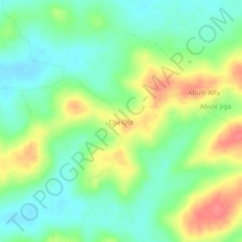
Name: Oju Ota topographic map, elevation, terrain.
Location: Oju Ota, Yewa South, Ogun State, Nigeria (6.77455 2.93336 6.81455 2.97336)
Average elevation: 40 m
Minimum elevation: 12 m
Maximum elevation: 86 m
Thank you for supporting this site ❤️
Make a donation
Make a donation