
Taco Pozo topographic map
Interactive map
Click on the map to display elevation.
About this map
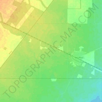
Name: Taco Pozo topographic map, elevation, terrain.
Location: Taco Pozo, Almirante Brown, CCO, 3714, Argentina (-25.62982 -63.28291 -25.60279 -63.25218)
Average elevation: 259 m
Minimum elevation: 255 m
Maximum elevation: 262 m