
Thank you for supporting this site ❤️
Make a donation
Make a donation
Fayetteville topographic map
Click on the map to display elevation.
Thank you for supporting this site ❤️
Make a donation
Make a donation
About this map
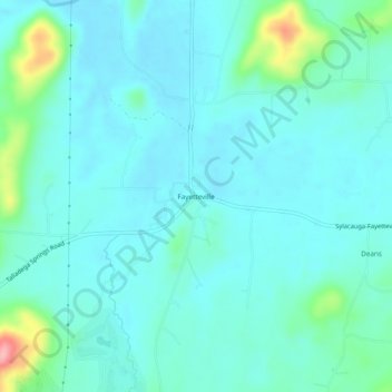
Name: Fayetteville topographic map, elevation, terrain.
Location: Fayetteville, Talladega County, Alabama, United States (33.12567 -86.42581 33.16567 -86.38581)
Average elevation: 145 m
Minimum elevation: 123 m
Maximum elevation: 257 m
Thank you for supporting this site ❤️
Make a donation
Make a donation
Other topographic maps
Click on a map to view its topography, its elevation and its terrain.
Thank you for supporting this site ❤️
Make a donation
Make a donation
Thank you for supporting this site ❤️
Make a donation
Make a donation