
Clevedon topographic map
Interactive map
Click on the map to display elevation.
About this map
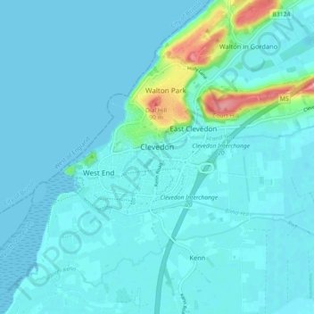
Name: Clevedon topographic map, elevation, terrain.
Average elevation: 11 m
Minimum elevation: -1 m
Maximum elevation: 111 m
Other topographic maps
Click on a map to view its topography, its elevation and its terrain.
Golling
Verenigd Koninkrijk > Engeland > North Somerset > Banwell
Golling, Banwell, North Somerset, Engeland, BS29 6DG, Verenigd Koninkrijk
Average elevation: 23 m