
Thank you for supporting this site ❤️
Make a donation
Make a donation
Gürzenich topographic map
Click on the map to display elevation.
Thank you for supporting this site ❤️
Make a donation
Make a donation
Gürzenich
Vom 6. Oktober 1908 an wurde Gürzenich von der Straßenbahnlinie 3 der Dürener Kreisbahn (DKB) bedient. Die Strecke führte durch die heutige Valencienner Straße und die heutige Schillingsstraße und endete in Höhe der Kirche mit einem Umsetzgleis.
Thank you for supporting this site ❤️
Make a donation
Make a donation
About this map
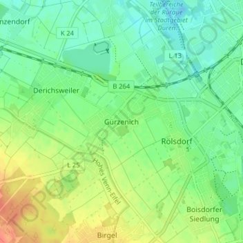
Name: Gürzenich topographic map, elevation, terrain.
Average elevation: 134 m
Minimum elevation: 118 m
Maximum elevation: 159 m
Thank you for supporting this site ❤️
Make a donation
Make a donation