
Thank you for supporting this site ❤️
Make a donation
Make a donation
Claysville topographic map
Click on the map to display elevation.
Thank you for supporting this site ❤️
Make a donation
Make a donation
About this map
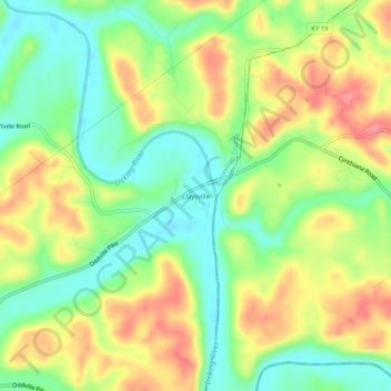
Name: Claysville topographic map, elevation, terrain.
Location: Claysville, Harrison County, Kentucky, United States (38.49924 -84.20521 38.53924 -84.16521)
Average elevation: 209 m
Minimum elevation: 168 m
Maximum elevation: 257 m
Thank you for supporting this site ❤️
Make a donation
Make a donation
Other topographic maps
Click on a map to view its topography, its elevation and its terrain.