
Lone Peak topographic map
Interactive map
Click on the map to display elevation.
About this map
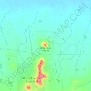
Name: Lone Peak topographic map, elevation, terrain.
Location: Lone Peak, Major County, Oklahoma, USA (36.37582 -98.57680 36.37592 -98.57670)
Average elevation: 405 m
Minimum elevation: 386 m
Maximum elevation: 475 m
Other topographic maps
Click on a map to view its topography, its elevation and its terrain.