
Thank you for supporting this site ❤️
Make a donation
Make a donation
Village Green topographic map
Click on the map to display elevation.
Thank you for supporting this site ❤️
Make a donation
Make a donation
About this map
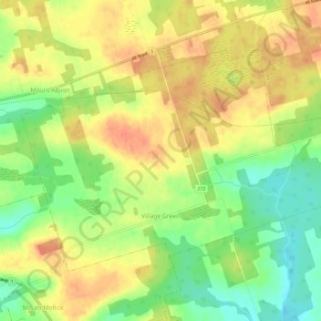
Name: Village Green topographic map, elevation, terrain.
Location: Village Green, Queens County, Prince Edward Island, Canada (46.20708 -62.94989 46.23480 -62.89189)
Average elevation: 36 m
Minimum elevation: 9 m
Maximum elevation: 57 m
Thank you for supporting this site ❤️
Make a donation
Make a donation
Other topographic maps
Click on a map to view its topography, its elevation and its terrain.