
Thank you for supporting this site ❤️
Make a donation
Make a donation
Namirembe topographic map
Click on the map to display elevation.
Thank you for supporting this site ❤️
Make a donation
Make a donation
About this map
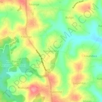
Name: Namirembe topographic map, elevation, terrain.
Location: Namirembe, Mukono, Uganda (0.44206 32.74079 0.48206 32.78079)
Average elevation: 1,165 m
Minimum elevation: 1,121 m
Maximum elevation: 1,216 m
Thank you for supporting this site ❤️
Make a donation
Make a donation