
Thank you for supporting this site ❤️
Make a donation
Make a donation
Kälberberg topographic map
Click on the map to display elevation.
Thank you for supporting this site ❤️
Make a donation
Make a donation
About this map
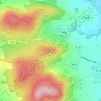
Name: Kälberberg topographic map, elevation, terrain.
Location: Kälberberg, Elstra, Bautzen, Sachsen, 01920, Deutschland (51.22584 14.10580 51.22594 14.10590)
Average elevation: 290 m
Minimum elevation: 199 m
Maximum elevation: 408 m
Thank you for supporting this site ❤️
Make a donation
Make a donation