
Jamnagar topographic map
Click on the map to display elevation.
About this map
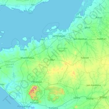
Name: Jamnagar topographic map, elevation, terrain.
Location: Jamnagar, Jamnagar District, Gujarat, India (21.61000 69.36000 22.89000 70.64000)
Average elevation: 51 m
Minimum elevation: -1 m
Maximum elevation: 556 m
Other topographic maps
Click on a map to view its topography, its elevation and its terrain.