
Thank you for supporting this site ❤️
Make a donation
Make a donation
Red Deer Lake topographic map
Click on the map to display elevation.
Thank you for supporting this site ❤️
Make a donation
Make a donation
About this map
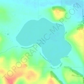
Name: Red Deer Lake topographic map, elevation, terrain.
Location: Red Deer Lake, Foothills County, Alberta, Canada (50.86345 -114.17484 50.87911 -114.14643)
Average elevation: 1,140 m
Minimum elevation: 1,123 m
Maximum elevation: 1,185 m
Thank you for supporting this site ❤️
Make a donation
Make a donation