
Thank you for supporting this site ❤️
Make a donation
Make a donation
La Trampa topographic map
Click on the map to display elevation.
Thank you for supporting this site ❤️
Make a donation
Make a donation
About this map
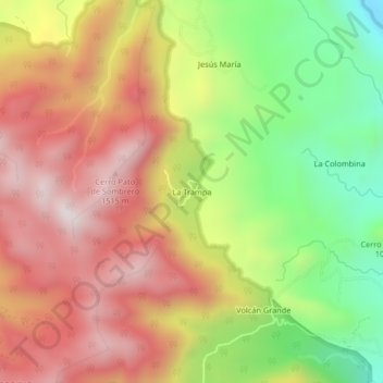
Name: La Trampa topographic map, elevation, terrain.
Location: La Trampa, Jinotega, 65000, Nicaragua (13.12702 -85.87172 13.16702 -85.83172)
Average elevation: 1,168 m
Minimum elevation: 735 m
Maximum elevation: 1,545 m
Thank you for supporting this site ❤️
Make a donation
Make a donation
Other topographic maps
Click on a map to view its topography, its elevation and its terrain.