
Mont Puke topographic map
Interactive map
Click on the map to display elevation.
About this map
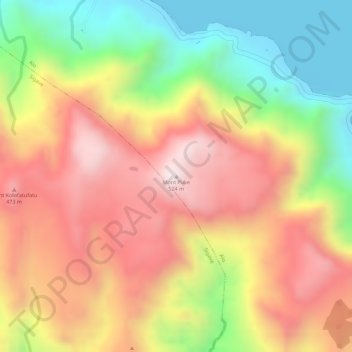
Name: Mont Puke topographic map, elevation, terrain.
Location: Mont Puke, Alo, Wallis und Futuna, 98610, Frankreich (-14.27002 -178.13891 -14.26992 -178.13881)
Average elevation: 288 m
Minimum elevation: -1 m
Maximum elevation: 518 m