
Minjur topographic map
Click on the map to display elevation.
Minjur
Minjur is located at 13°16′N 80°16′E / 13.27°N 80.27°E / 13.27; 80.27. It has an average elevation of 11 metres (36 feet). With Ponneri as its north, Cholavaram as its west, Manali New Town, Manali and Thiruvottiyur as its south, it is situated about 25 km from north of Chennai and well connected to that city with roadways and railways.
About this map
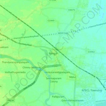
Name: Minjur topographic map, elevation, terrain.
Average elevation: 6 m
Minimum elevation: 0 m
Maximum elevation: 13 m