
Thank you for supporting this site ❤️
Make a donation
Make a donation
Monroe topographic map
Click on the map to display elevation.
Thank you for supporting this site ❤️
Make a donation
Make a donation
About this map
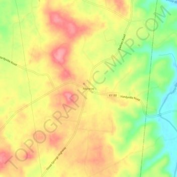
Name: Monroe topographic map, elevation, terrain.
Location: Monroe, Hart County, Kentucky, 42746, United States (37.21228 -85.71775 37.25228 -85.67775)
Average elevation: 210 m
Minimum elevation: 154 m
Maximum elevation: 252 m
Thank you for supporting this site ❤️
Make a donation
Make a donation
Other topographic maps
Click on a map to view its topography, its elevation and its terrain.