
Hörlinge topographic map
Interactive map
Click on the map to display elevation.
About this map
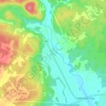
Name: Hörlinge topographic map, elevation, terrain.
Location: Hörlinge, Hässleholms kommun, Provinz Schonen, Schweden (56.17412 13.64960 56.21412 13.68960)
Average elevation: 78 m
Minimum elevation: 45 m
Maximum elevation: 134 m