
华埠镇 topographic map
Interactive map
Click on the map to display elevation.
About this map
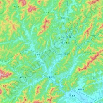
Name: 华埠镇 topographic map, elevation, terrain.
Location: 华埠镇, 开化县, 衢州市, 浙江省, 中国 (28.92554 118.24899 29.25656 118.53335)
Average elevation: 286 m
Minimum elevation: 87 m
Maximum elevation: 1,045 m
Other topographic maps
Click on a map to view its topography, its elevation and its terrain.