
Shorne topographic map
Interactive map
Click on the map to display elevation.
About this map
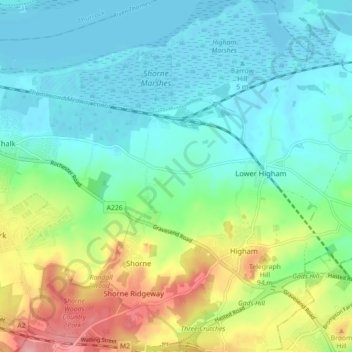
Name: Shorne topographic map, elevation, terrain.
Location: Shorne, Gravesham, Kent, Engeland, Verenigd Koninkrijk (51.39906 0.38786 51.45466 0.45709)
Average elevation: 35 m
Minimum elevation: -2 m
Maximum elevation: 123 m