
Thank you for supporting this site ❤️
Make a donation
Make a donation
Gunung Kijang topographic map
Click on the map to display elevation.
Thank you for supporting this site ❤️
Make a donation
Make a donation
About this map
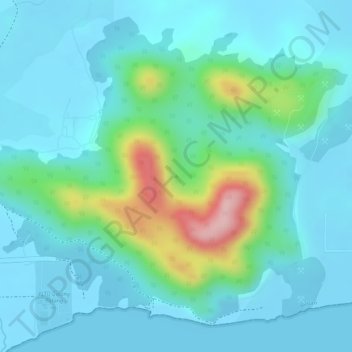
Name: Gunung Kijang topographic map, elevation, terrain.
Location: Gunung Kijang, Bintan, Riau Islands, Sumatra, Indonesia (0.91620 104.63606 0.91630 104.63616)
Average elevation: 40 m
Minimum elevation: -2 m
Maximum elevation: 197 m
Thank you for supporting this site ❤️
Make a donation
Make a donation