
Amen topographic map
Click on the map to display elevation.
About this map
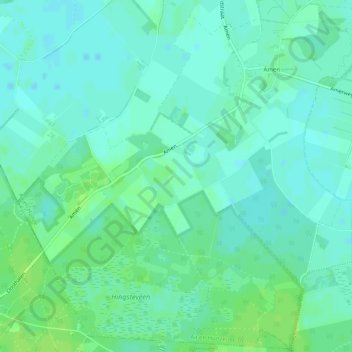
Name: Amen topographic map, elevation, terrain.
Location: Amen, Aa en Hunze, Drenthe, Netherlands (52.91833 6.57584 52.94805 6.62602)
Average elevation: 16 m
Minimum elevation: 11 m
Maximum elevation: 21 m
Other topographic maps
Click on a map to view its topography, its elevation and its terrain.