
Thank you for supporting this site ❤️
Make a donation
Make a donation
Sudberg topographic map
Click on the map to display elevation.
Thank you for supporting this site ❤️
Make a donation
Make a donation
About this map
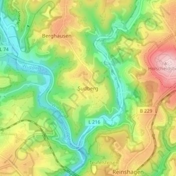
Name: Sudberg topographic map, elevation, terrain.
Location: Sudberg, Wuppertal, North Rhine-Westphalia, 42857, Germany (51.15969 7.11938 51.19969 7.15938)
Average elevation: 206 m
Minimum elevation: 105 m
Maximum elevation: 344 m
Thank you for supporting this site ❤️
Make a donation
Make a donation