
Thank you for supporting this site ❤️
Make a donation
Make a donation
Weiden topographic map
Click on the map to display elevation.
Thank you for supporting this site ❤️
Make a donation
Make a donation
About this map
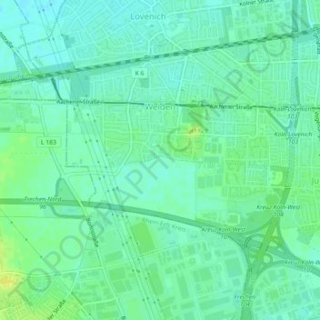
Name: Weiden topographic map, elevation, terrain.
Location: Weiden, Lindenthal, Köln, Nordrhein-Westfalen, Deutschland (50.92251 6.80507 50.94439 6.84960)
Average elevation: 63 m
Minimum elevation: 56 m
Maximum elevation: 75 m
Thank you for supporting this site ❤️
Make a donation
Make a donation
Other topographic maps
Click on a map to view its topography, its elevation and its terrain.