
鄯善县 topographic map
Interactive map
Click on the map to display elevation.
About this map
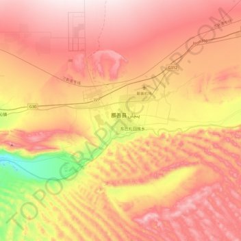
Name: 鄯善县 topographic map, elevation, terrain.
Location: 鄯善县, 吐鲁番市, 新疆维吾尔自治区, 中国 (42.70788 90.04860 43.02788 90.36860)
Average elevation: 483 m
Minimum elevation: 150 m
Maximum elevation: 724 m
Other topographic maps
Click on a map to view its topography, its elevation and its terrain.