
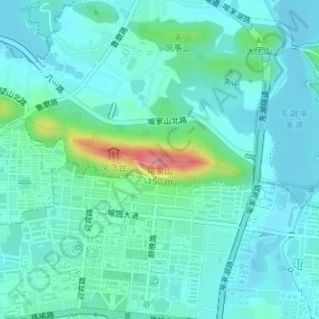
喻家山 topographic map
Interactive map
Click on the map to display elevation.
About this map
Name: 喻家山 topographic map, elevation, terrain.
Location: 喻家山, 武汉市, 湖北省, 430074, 中国 (30.52276 114.41253 30.52286 114.41263)
Average elevation: 39 m
Minimum elevation: 17 m
Maximum elevation: 138 m
Other topographic maps
Click on a map to view its topography, its elevation and its terrain.