
Thank you for supporting this site ❤️
Make a donation
Make a donation
Penny topographic map
Click on the map to display elevation.
Thank you for supporting this site ❤️
Make a donation
Make a donation
About this map
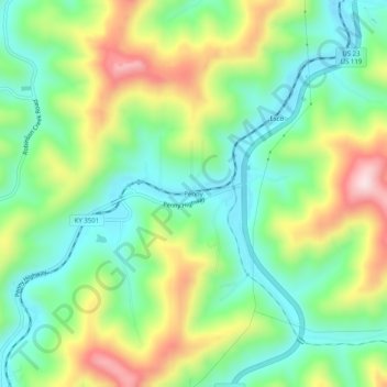
Name: Penny topographic map, elevation, terrain.
Location: Penny, Pike County, Kentucky, 41560, United States (37.33927 -82.58154 37.37927 -82.54154)
Average elevation: 378 m
Minimum elevation: 231 m
Maximum elevation: 638 m
Thank you for supporting this site ❤️
Make a donation
Make a donation
Other topographic maps
Click on a map to view its topography, its elevation and its terrain.