
Thank you for supporting this site ❤️
Make a donation
Make a donation
Industrial District topographic map
Click on the map to display elevation.
Thank you for supporting this site ❤️
Make a donation
Make a donation
About this map
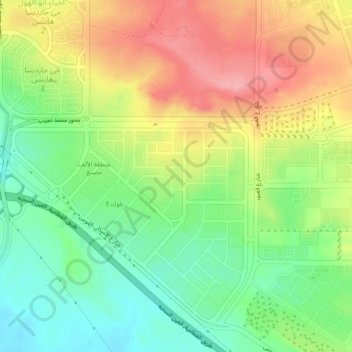
Name: Industrial District topographic map, elevation, terrain.
Location: Industrial District, New Cairo City, Cairo, 11835, Egypt (29.94914 31.47208 29.98914 31.51208)
Average elevation: 350 m
Minimum elevation: 297 m
Maximum elevation: 415 m
Thank you for supporting this site ❤️
Make a donation
Make a donation