
Thank you for supporting this site ❤️
Make a donation
Make a donation
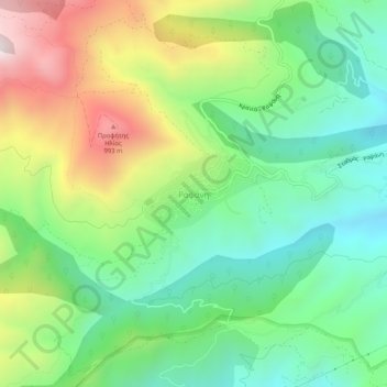
Rapsani topographic map
Click on the map to display elevation.
Thank you for supporting this site ❤️
Make a donation
Make a donation
Rapsani
Rapsani is sited at an altitude of 600 meters. The location of Peneus river at the level of the station Rapsani is a scenic landscape. The town is close (5 km) from a station that bears the same name.
Thank you for supporting this site ❤️
Make a donation
Make a donation
About this map
Name: Rapsani topographic map, elevation, terrain.
Average elevation: 501 m
Minimum elevation: 150 m
Maximum elevation: 1,123 m
Thank you for supporting this site ❤️
Make a donation
Make a donation