
Thank you for supporting this site ❤️
Make a donation
Make a donation
Jazirat al Awamiya topographic map
Click on the map to display elevation.
Thank you for supporting this site ❤️
Make a donation
Make a donation
About this map
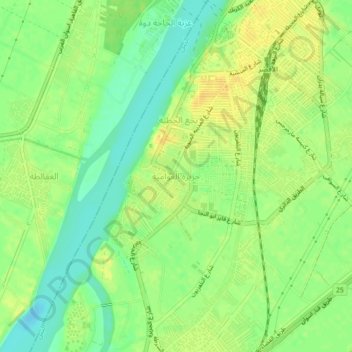
Name: Jazirat al Awamiya topographic map, elevation, terrain.
Location: Jazirat al Awamiya, Luxor, 85111, Egypt (25.66333 32.61333 25.70333 32.65333)
Average elevation: 78 m
Minimum elevation: 64 m
Maximum elevation: 89 m
Thank you for supporting this site ❤️
Make a donation
Make a donation
Other topographic maps
Click on a map to view its topography, its elevation and its terrain.
Ancient Thebes with its Necropolis
Egypt > Luxor > Al-Qarnah > Al Baairat Village
Average elevation: 114 m
Thank you for supporting this site ❤️
Make a donation
Make a donation