
Galatea topographic map
Click on the map to display elevation.
About this map
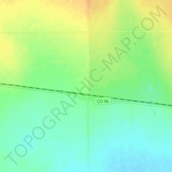
Name: Galatea topographic map, elevation, terrain.
Location: Galatea, Kiowa County, Colorado, United States (38.49463 -103.03503 38.51463 -103.01503)
Average elevation: 1,336 m
Minimum elevation: 1,321 m
Maximum elevation: 1,353 m
Other topographic maps
Click on a map to view its topography, its elevation and its terrain.