
Thank you for supporting this site ❤️
Make a donation
Make a donation
Durant topographic map
Click on the map to display elevation.
Thank you for supporting this site ❤️
Make a donation
Make a donation
About this map
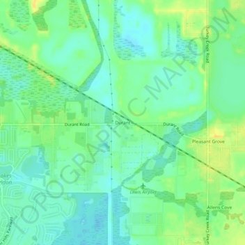
Name: Durant topographic map, elevation, terrain.
Location: Durant, Hillsborough County, Florida, 33530, United States (27.88864 -82.20620 27.92864 -82.16620)
Average elevation: 17 m
Minimum elevation: 7 m
Maximum elevation: 30 m
Thank you for supporting this site ❤️
Make a donation
Make a donation
Other topographic maps
Click on a map to view its topography, its elevation and its terrain.
Thank you for supporting this site ❤️
Make a donation
Make a donation
City of Tampa Waterworks Dam
United States > Florida > Hillsborough County > Tampa > Altos Verdes
Average elevation: 13 m
Thank you for supporting this site ❤️
Make a donation
Make a donation
Alafia Scrub Nature Preserve
United States > Florida > Hillsborough County > Riverview
Average elevation: 10 m
Thank you for supporting this site ❤️
Make a donation
Make a donation
Thank you for supporting this site ❤️
Make a donation
Make a donation