
Gwafan topographic map
Click on the map to display elevation.
About this map
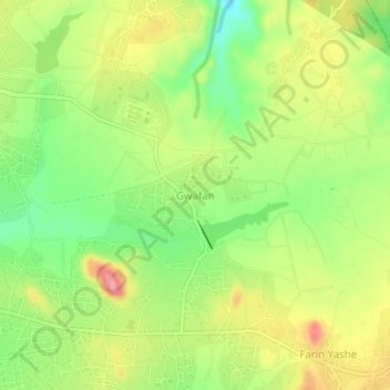
Name: Gwafan topographic map, elevation, terrain.
Location: Gwafan, Jos North, Plateau State, 930106, Nigeria (9.88000 8.94667 9.92000 8.98667)
Average elevation: 1,304 m
Minimum elevation: 1,248 m
Maximum elevation: 1,367 m