
Thank you for supporting this site ❤️
Make a donation
Make a donation
Lost Creek topographic map
Click on the map to display elevation.
Thank you for supporting this site ❤️
Make a donation
Make a donation
About this map
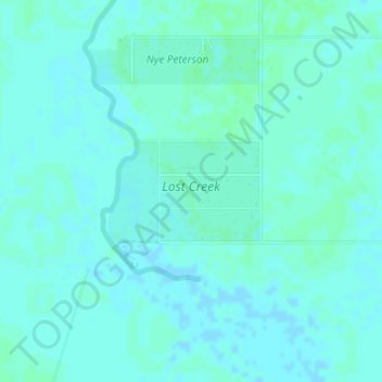
Name: Lost Creek topographic map, elevation, terrain.
Location: Lost Creek, Nueces County, Texas, United States (27.71063 -97.76217 27.71792 -97.74989)
Average elevation: 21 m
Minimum elevation: 19 m
Maximum elevation: 24 m
Thank you for supporting this site ❤️
Make a donation
Make a donation
Other topographic maps
Click on a map to view its topography, its elevation and its terrain.