
Thank you for supporting this site ❤️
Make a donation
Make a donation
Raines Tavern topographic map
Click on the map to display elevation.
Thank you for supporting this site ❤️
Make a donation
Make a donation
About this map
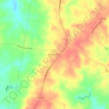
Name: Raines Tavern topographic map, elevation, terrain.
Location: Raines Tavern, Cumberland County, Virginia, United States (37.34682 -78.39472 37.38682 -78.35472)
Average elevation: 136 m
Minimum elevation: 101 m
Maximum elevation: 162 m
Thank you for supporting this site ❤️
Make a donation
Make a donation
Other topographic maps
Click on a map to view its topography, its elevation and its terrain.