
Thank you for supporting this site ❤️
Make a donation
Make a donation
Oworonṣoki topographic map
Click on the map to display elevation.
Thank you for supporting this site ❤️
Make a donation
Make a donation
About this map
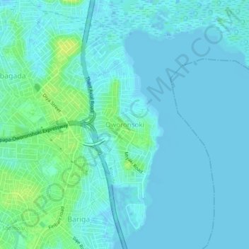
Name: Oworonṣoki topographic map, elevation, terrain.
Location: Oworonṣoki, Kosofe, Lagos State, 100234, Nigeria (6.53021 3.38220 6.57021 3.42220)
Average elevation: 4 m
Minimum elevation: -3 m
Maximum elevation: 15 m
Thank you for supporting this site ❤️
Make a donation
Make a donation