
Thank you for supporting this site ❤️
Make a donation
Make a donation
Coal Creek topographic map
Click on the map to display elevation.
Thank you for supporting this site ❤️
Make a donation
Make a donation
About this map
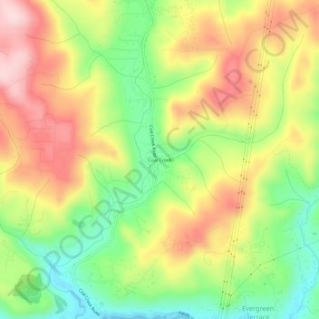
Name: Coal Creek topographic map, elevation, terrain.
Location: Coal Creek, Cowlitz County, Washington, United States (46.18011 -123.03678 46.22011 -122.99678)
Average elevation: 132 m
Minimum elevation: -1 m
Maximum elevation: 272 m
Thank you for supporting this site ❤️
Make a donation
Make a donation
Other topographic maps
Click on a map to view its topography, its elevation and its terrain.