
Thank you for supporting this site ❤️
Make a donation
Make a donation
Town of Rome topographic map
Click on the map to display elevation.
Thank you for supporting this site ❤️
Make a donation
Make a donation
About this map
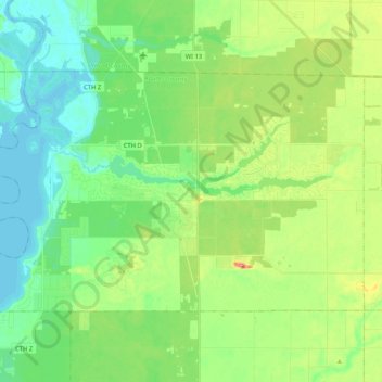
Name: Town of Rome topographic map, elevation, terrain.
Location: Town of Rome, Adams County, Wisconsin, 54457, United States (44.15524 -89.92613 44.24948 -89.71722)
Average elevation: 304 m
Minimum elevation: 279 m
Maximum elevation: 358 m
Thank you for supporting this site ❤️
Make a donation
Make a donation
Other topographic maps
Click on a map to view its topography, its elevation and its terrain.
Thank you for supporting this site ❤️
Make a donation
Make a donation
Thank you for supporting this site ❤️
Make a donation
Make a donation