
Thank you for supporting this site ❤️
Make a donation
Make a donation
Villavedón topographic map
Click on the map to display elevation.
Thank you for supporting this site ❤️
Make a donation
Make a donation
About this map
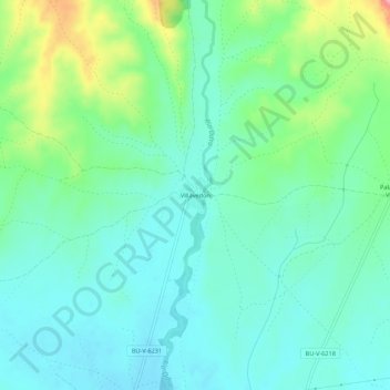
Name: Villavedón topographic map, elevation, terrain.
Location: Villavedón, Villadiego, Burgos, Castilla y León, España (42.57207 -4.12052 42.61207 -4.08052)
Average elevation: 890 m
Minimum elevation: 858 m
Maximum elevation: 982 m
Thank you for supporting this site ❤️
Make a donation
Make a donation