
Thank you for supporting this site ❤️
Make a donation
Make a donation
Dola topographic map
Click on the map to display elevation.
Thank you for supporting this site ❤️
Make a donation
Make a donation
About this map
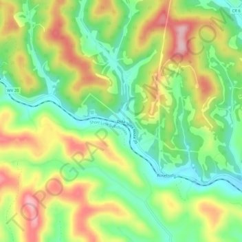
Name: Dola topographic map, elevation, terrain.
Location: Dola, Harrison County, West Virginia, 26648, United States (39.35648 -80.44176 39.39648 -80.40176)
Average elevation: 369 m
Minimum elevation: 282 m
Maximum elevation: 482 m
Thank you for supporting this site ❤️
Make a donation
Make a donation
Other topographic maps
Click on a map to view its topography, its elevation and its terrain.